
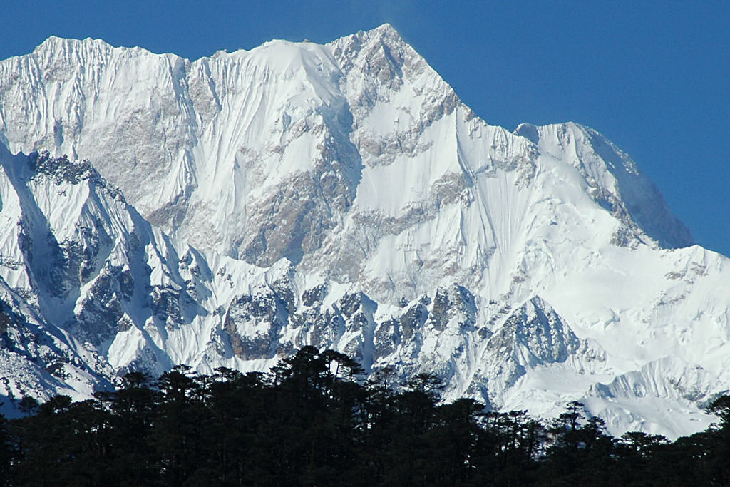
Spantik Peak Base Camp Trek
Spantik Peak Base Camp is a popular playground for mountaineers attempting their first 7,000-meter peak in Karakoram. It is also known as Golden Peak & Ghenish Chhish.


| Trip Nature: | Adventure | |
| Transportation: | Air Conditioned & 4x4W Jeeps | |
| Best Time: | June - October | |
| Max Altitude: | 4977m | |
| Trek Grade: | Medium |

We undertake a 12-day strenuous round trek in the heart of Karakorum approaching the base camp of this beautiful peak on forth day of our trek. Very few adventurers visit this part of Karakorum so we have the opportunity to experience the romantic wilderness of Karakoram in its prime form.


